28
31 may 2026
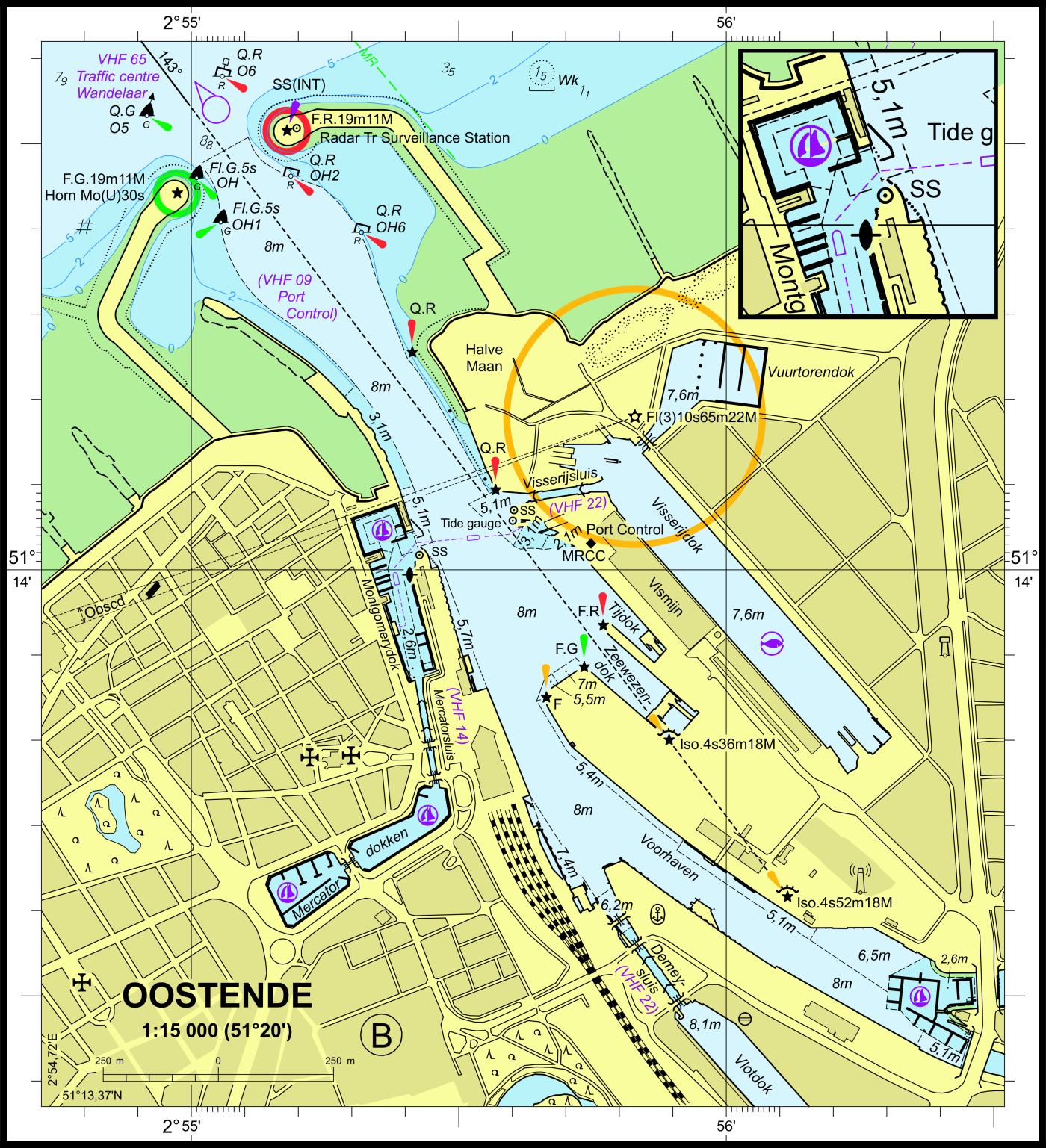
Port plan and numbering of berths in the port of Ostend.
Should not be used for navigation.
MDK - Coastal Division - Flemish Hydrography, part of nautical chart D11.
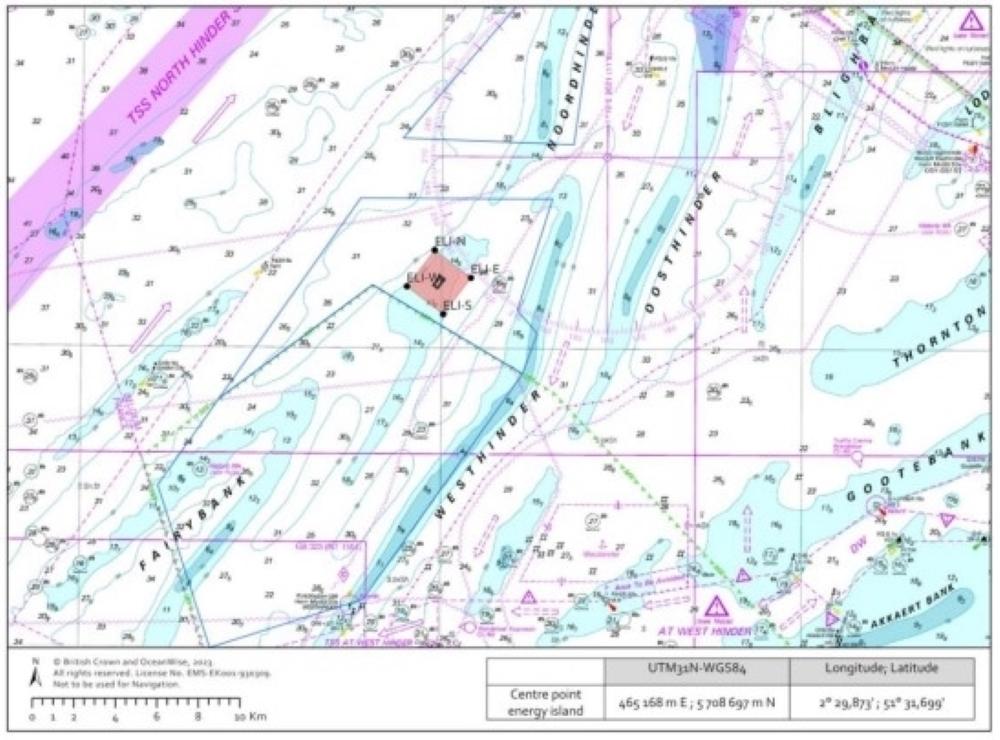
High-voltage grid operator Elia will start building Princess Elisabeth Island in April 2024. This artificial energy island is an extension of the North Sea electricity grid. It will link the future wind farms in the Princess Elisabeth area to the mainland.
The energy island will be built in the centre of the Princess Elisabeth wind zone, around 45 km from the Belgian coast. The working area around the island is delimited by 4 cardinal buoys (ELI-N, ELI-E, ELI-S and ELI-W). The coordinates of the buoys are given in the Notices to Mariners.
We ask you to avoid this work zone and to follow the MRCC's instructions, so that the work can proceed safely.